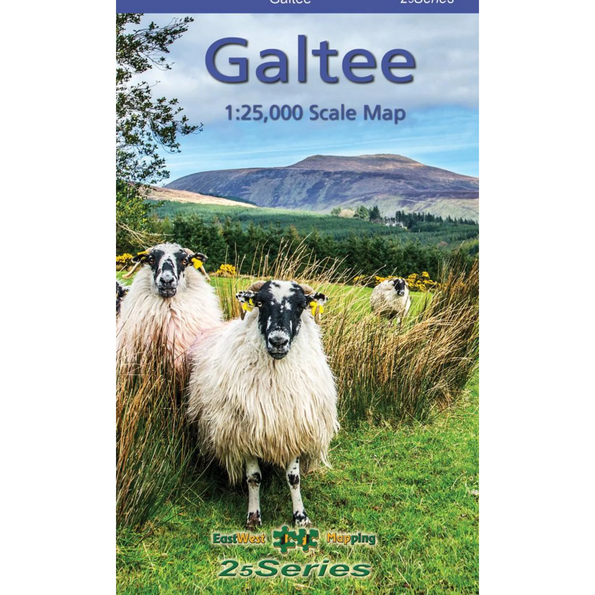
EastWest Mapping Galtee Mountains Paper Map (1:25,000)
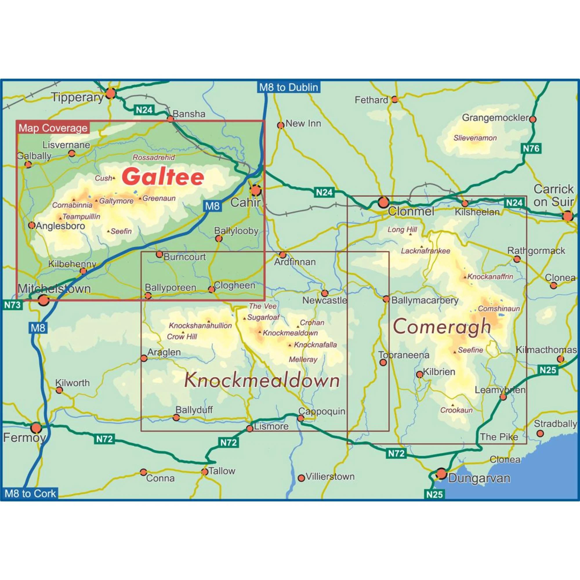
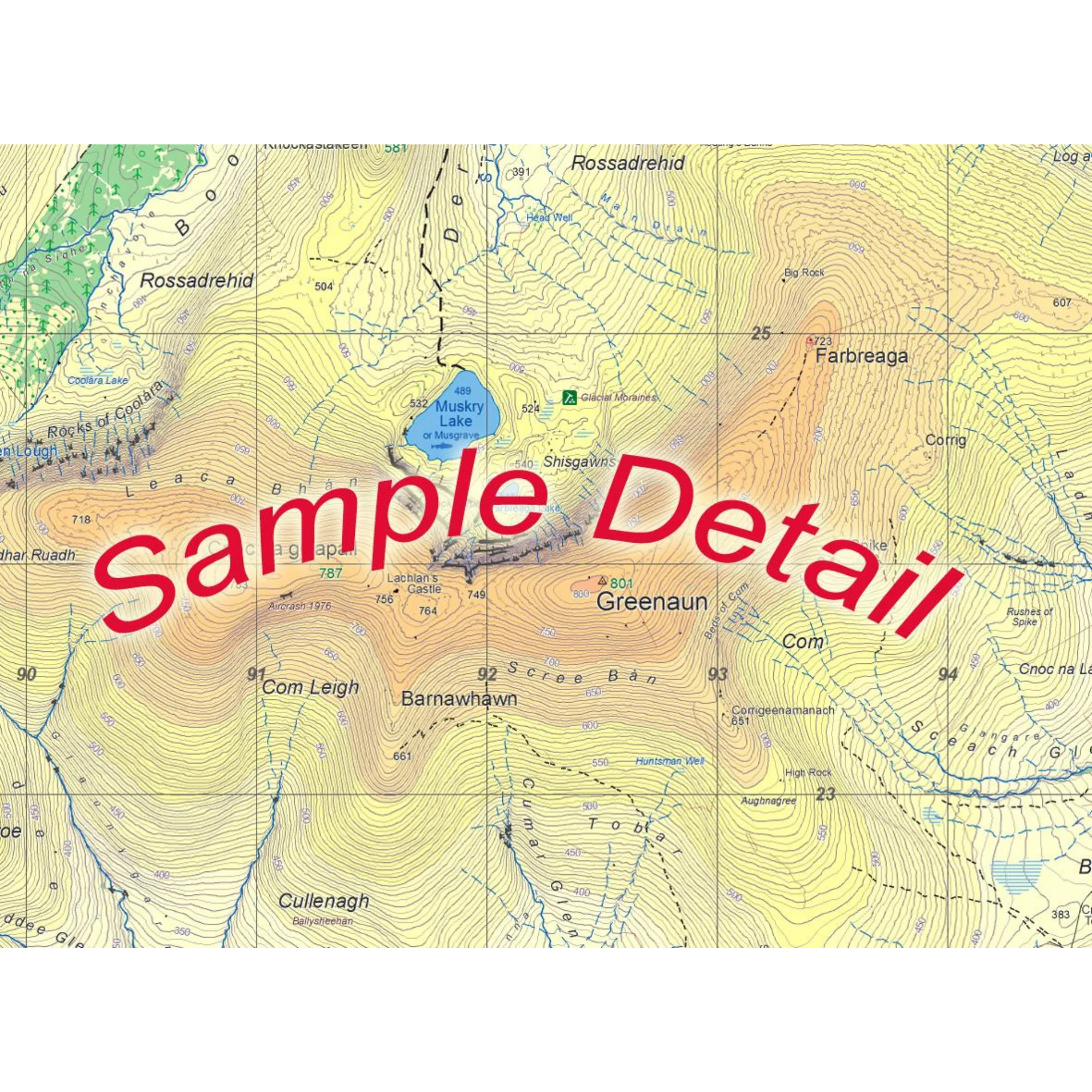
Definitive detailed map at 1:25,000 scale covering from Mitchelstown to Cahir and from Clogheen to Lisverane. Covers the Galtee Mountains and hinterland. Produced to EastWest Mapping's 25Series standard, this general topographic map has a 5 metre contour interval for fine navigation. Signposted walking trails and greenways are depicted.
EastWest Mapping have conducted considerable research into local sites & placenames and much information is recorded on a map here for the first time.
Printed on good quality Progeo 90gsm map paper. The map sheet measures 1125mm x 820mm, covering 550 sq kilometres and is folded down to 125mm x 205mm.
- Paper quality: Progeo 90gsm map paper
- Open dimensions: 112.5cm x 82cm
- Folded dimensions: 12.cm x 20.5cm
- Surveyed & published: 2019-2024.
- Paper map - not waterproof
- Scale: 1:25,000
- Contour Interval: 5 metres
1:25,000 Scale : 1 centimetre on the map = 250 metres on the ground.
Why not check out our waterproof map cases and dry bags to keep your valuables safe on the mountains!
Check out EastWest Mapping's FAQ section for Care Instructions and Key to Symbols
EastWest Mapping Galtee Mountains Paper Map 1:25,000 EWGALTEE
Original: $17.57
-65%$17.57
$6.15More Images
EastWest Mapping Galtee Mountains Paper Map (1:25,000)
Definitive detailed map at 1:25,000 scale covering from Mitchelstown to Cahir and from Clogheen to Lisverane. Covers the Galtee Mountains and hinterland. Produced to EastWest Mapping's 25Series standard, this general topographic map has a 5 metre contour interval for fine navigation. Signposted walking trails and greenways are depicted.
EastWest Mapping have conducted considerable research into local sites & placenames and much information is recorded on a map here for the first time.
Printed on good quality Progeo 90gsm map paper. The map sheet measures 1125mm x 820mm, covering 550 sq kilometres and is folded down to 125mm x 205mm.
- Paper quality: Progeo 90gsm map paper
- Open dimensions: 112.5cm x 82cm
- Folded dimensions: 12.cm x 20.5cm
- Surveyed & published: 2019-2024.
- Paper map - not waterproof
- Scale: 1:25,000
- Contour Interval: 5 metres
1:25,000 Scale : 1 centimetre on the map = 250 metres on the ground.
Why not check out our waterproof map cases and dry bags to keep your valuables safe on the mountains!
Check out EastWest Mapping's FAQ section for Care Instructions and Key to Symbols
EastWest Mapping Galtee Mountains Paper Map 1:25,000 EWGALTEE
Product Information
Product Information
Shipping & Returns
Shipping & Returns
Description
Definitive detailed map at 1:25,000 scale covering from Mitchelstown to Cahir and from Clogheen to Lisverane. Covers the Galtee Mountains and hinterland. Produced to EastWest Mapping's 25Series standard, this general topographic map has a 5 metre contour interval for fine navigation. Signposted walking trails and greenways are depicted.
EastWest Mapping have conducted considerable research into local sites & placenames and much information is recorded on a map here for the first time.
Printed on good quality Progeo 90gsm map paper. The map sheet measures 1125mm x 820mm, covering 550 sq kilometres and is folded down to 125mm x 205mm.
- Paper quality: Progeo 90gsm map paper
- Open dimensions: 112.5cm x 82cm
- Folded dimensions: 12.cm x 20.5cm
- Surveyed & published: 2019-2024.
- Paper map - not waterproof
- Scale: 1:25,000
- Contour Interval: 5 metres
1:25,000 Scale : 1 centimetre on the map = 250 metres on the ground.
Why not check out our waterproof map cases and dry bags to keep your valuables safe on the mountains!
Check out EastWest Mapping's FAQ section for Care Instructions and Key to Symbols
EastWest Mapping Galtee Mountains Paper Map 1:25,000 EWGALTEE