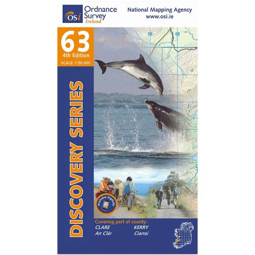
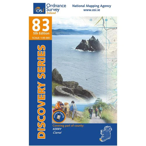
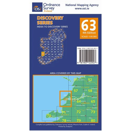
OSI Discovery Map 63 (Part of Clare & Kerry)(1:50,000)
Ordnance Survey Map Sheet 63 | Part of Clare and Kerry
Map includes:
- Ballybunion | Baile an Bhuinneánaigh
- Ballyduff | An Baile Dubh
- Ballylongford | Béal Átha Longfoirt
- Carrigaholt | Carraig an Chabhaltaigh
- Carrig Island | Oileán na Carraige
- Causeway | An Tóchar
- Doonbeg | An Dún Beag
- Doonbeg Loop Walk
- Kerry Head | Ceann Chiarraí
- Kilkee | Cill Chaoi
- Kilrush | Cill Rois
- Knockanore Mountain | Cnoc an Óir
- Listowel | Lios Tuathail (part of)
- Loop Head | Ceann Léime
- North Kerry Way: Tiduff - Glenlea
- Shannon Estuary
- Poolnasherry Bay | Poll na nOisrí
- Scattery Island | Inis Cathaigh
- Tullaher Loop Walk
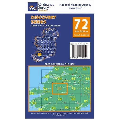
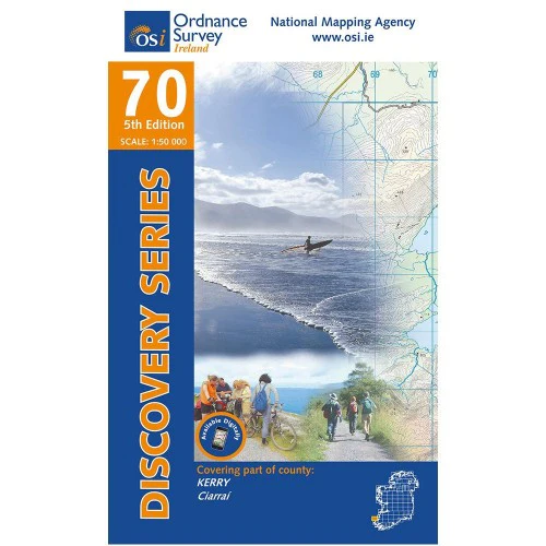
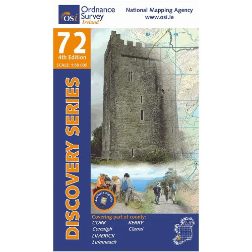
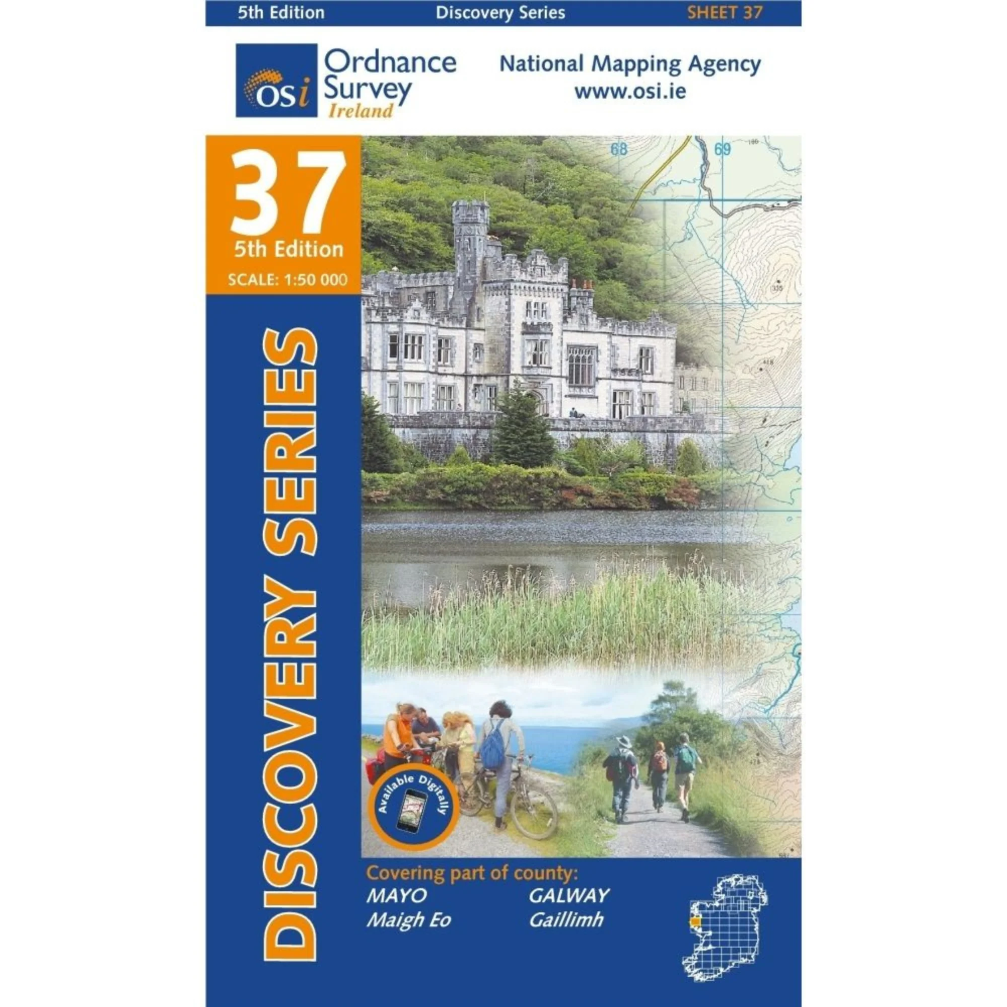
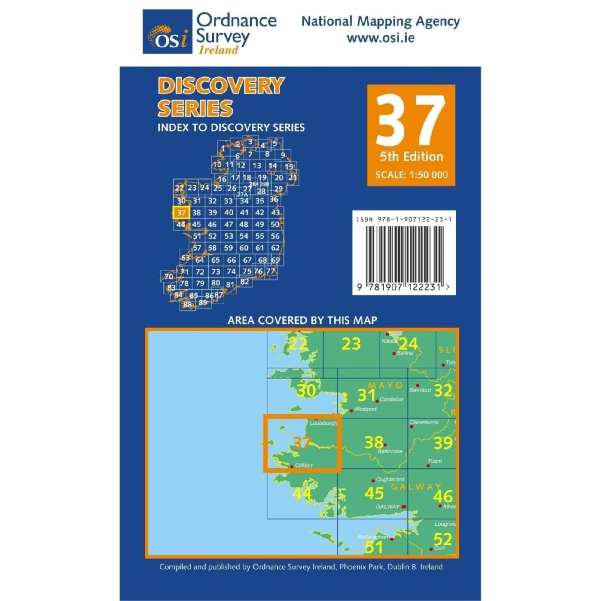
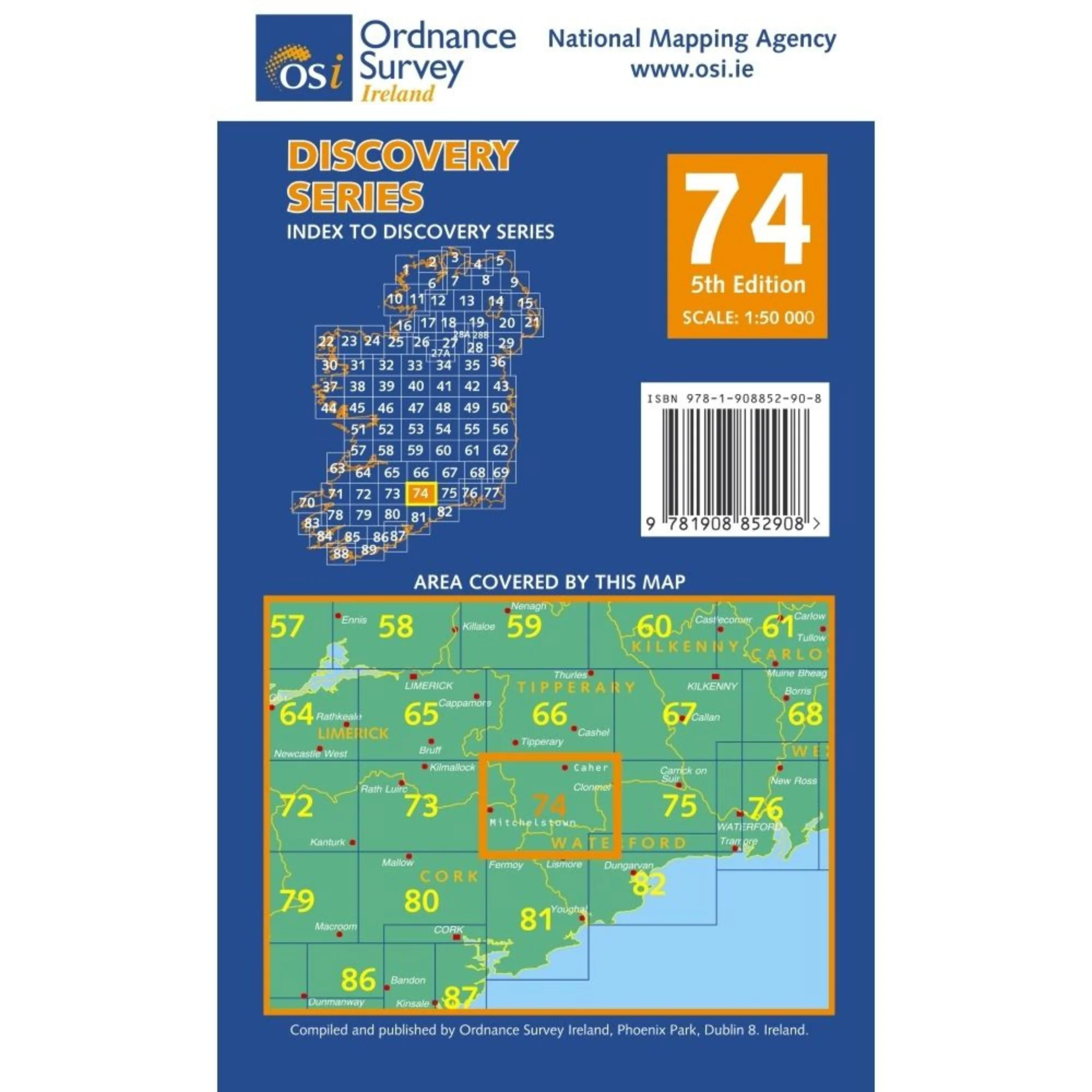
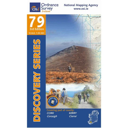
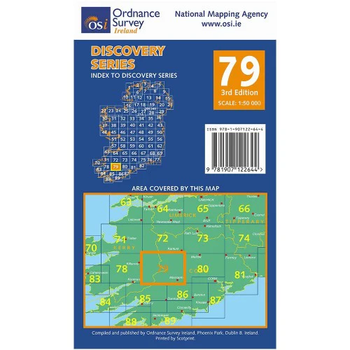
Discovery maps are produced at a scale of 1:50,000 (or 2cm on paper equals 1 kilometer on the ground). Each Discovery Sheet covers an area of 40km x 30km surface area (with the exception of several portrait-format sheets, which are 42km x 32km). There are 93 sheets in the series; 75 are produced by Ordnance Survey Ireland, and 18 by Ordnance Survey Northern Ireland. The maps produced by Ordnance Survey Northern Ireland are called the Discoverer Series.
This is a comprehensive series of feature-rich maps which show detailed landscape information, like rivers, lakes, contours and many townland names. The Discovery Series is designed primarily for tourist and leisure activities; these maps are the preferred choice for hill walkers and those in pursuit of the great outdoors. It is also an ideal reference for location-focused business use, in pocket-friendly folded form or as a wall-mounted reference.
Check out our waterproof map cases and dry bags to keep your gear safe and dry during the lovely Irish rain!
OSI Discovery Map 63 Part of Clare & Kerry 1:50,000 OSI63
Original: $10.54
-65%$10.54
$3.69More Images
OSI Discovery Map 63 (Part of Clare & Kerry)(1:50,000)
Ordnance Survey Map Sheet 63 | Part of Clare and Kerry
Map includes:
- Ballybunion | Baile an Bhuinneánaigh
- Ballyduff | An Baile Dubh
- Ballylongford | Béal Átha Longfoirt
- Carrigaholt | Carraig an Chabhaltaigh
- Carrig Island | Oileán na Carraige
- Causeway | An Tóchar
- Doonbeg | An Dún Beag
- Doonbeg Loop Walk
- Kerry Head | Ceann Chiarraí
- Kilkee | Cill Chaoi
- Kilrush | Cill Rois
- Knockanore Mountain | Cnoc an Óir
- Listowel | Lios Tuathail (part of)
- Loop Head | Ceann Léime
- North Kerry Way: Tiduff - Glenlea
- Shannon Estuary
- Poolnasherry Bay | Poll na nOisrí
- Scattery Island | Inis Cathaigh
- Tullaher Loop Walk
Discovery maps are produced at a scale of 1:50,000 (or 2cm on paper equals 1 kilometer on the ground). Each Discovery Sheet covers an area of 40km x 30km surface area (with the exception of several portrait-format sheets, which are 42km x 32km). There are 93 sheets in the series; 75 are produced by Ordnance Survey Ireland, and 18 by Ordnance Survey Northern Ireland. The maps produced by Ordnance Survey Northern Ireland are called the Discoverer Series.
This is a comprehensive series of feature-rich maps which show detailed landscape information, like rivers, lakes, contours and many townland names. The Discovery Series is designed primarily for tourist and leisure activities; these maps are the preferred choice for hill walkers and those in pursuit of the great outdoors. It is also an ideal reference for location-focused business use, in pocket-friendly folded form or as a wall-mounted reference.
Check out our waterproof map cases and dry bags to keep your gear safe and dry during the lovely Irish rain!
OSI Discovery Map 63 Part of Clare & Kerry 1:50,000 OSI63
Product Information
Product Information
Shipping & Returns
Shipping & Returns
Description
Ordnance Survey Map Sheet 63 | Part of Clare and Kerry
Map includes:
- Ballybunion | Baile an Bhuinneánaigh
- Ballyduff | An Baile Dubh
- Ballylongford | Béal Átha Longfoirt
- Carrigaholt | Carraig an Chabhaltaigh
- Carrig Island | Oileán na Carraige
- Causeway | An Tóchar
- Doonbeg | An Dún Beag
- Doonbeg Loop Walk
- Kerry Head | Ceann Chiarraí
- Kilkee | Cill Chaoi
- Kilrush | Cill Rois
- Knockanore Mountain | Cnoc an Óir
- Listowel | Lios Tuathail (part of)
- Loop Head | Ceann Léime
- North Kerry Way: Tiduff - Glenlea
- Shannon Estuary
- Poolnasherry Bay | Poll na nOisrí
- Scattery Island | Inis Cathaigh
- Tullaher Loop Walk
Discovery maps are produced at a scale of 1:50,000 (or 2cm on paper equals 1 kilometer on the ground). Each Discovery Sheet covers an area of 40km x 30km surface area (with the exception of several portrait-format sheets, which are 42km x 32km). There are 93 sheets in the series; 75 are produced by Ordnance Survey Ireland, and 18 by Ordnance Survey Northern Ireland. The maps produced by Ordnance Survey Northern Ireland are called the Discoverer Series.
This is a comprehensive series of feature-rich maps which show detailed landscape information, like rivers, lakes, contours and many townland names. The Discovery Series is designed primarily for tourist and leisure activities; these maps are the preferred choice for hill walkers and those in pursuit of the great outdoors. It is also an ideal reference for location-focused business use, in pocket-friendly folded form or as a wall-mounted reference.
Check out our waterproof map cases and dry bags to keep your gear safe and dry during the lovely Irish rain!
OSI Discovery Map 63 Part of Clare & Kerry 1:50,000 OSI63